


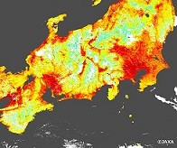
Fig.1-Fig.3 are Land Surface Temperature (each left side) and Land Surface Temperature and Normalized Difference Vegetation Index (each right side) on day time of Japan around 01:40 on Aug.1, 2018 (UTC). The white area on figures shows clouds. According to observation of SHIKISAI, Land Surface Temperature on the big cities was over 50 degrees on this day.
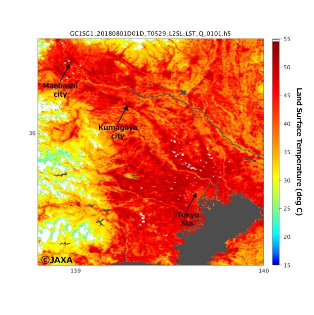
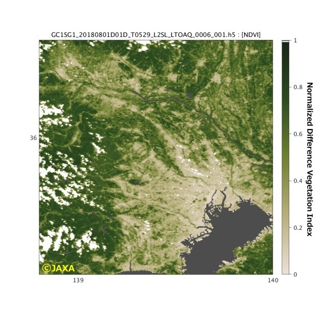
Fig 1. Land Surface Temperatures and Land Surface Temperature and Normalized Difference Vegetation Index around Tokyo
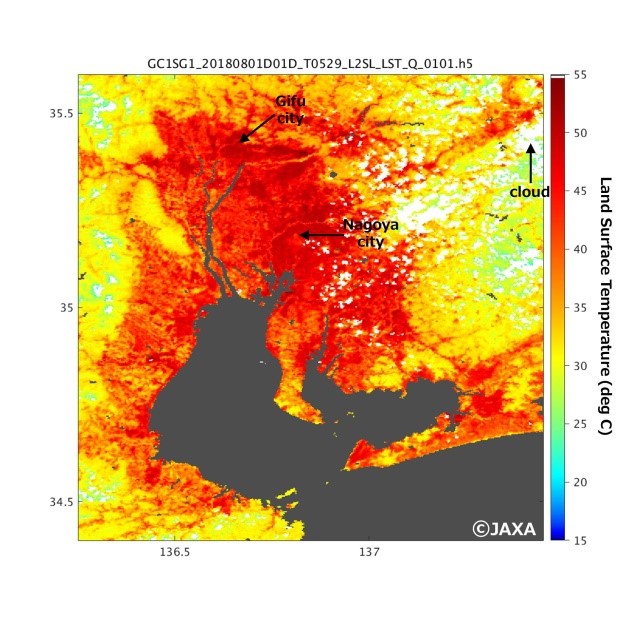
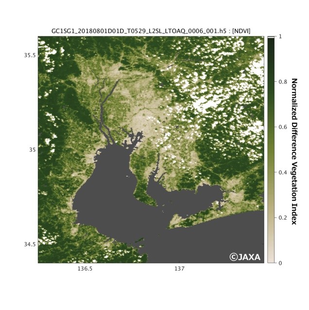
Fig 2. Land Surface Temperatures and Land Surface Temperature and Normalized Difference Vegetation Index around Nagoya
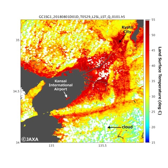
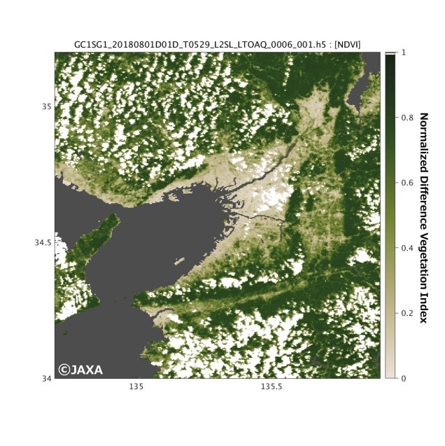
Fig 3.Land Surface Temperatures and Land Surface Temperature and Normalized Difference Vegetation Index around Osaka
The Second-Generation Global Imager (SGLI) on SHIKISAI is an optical sensor capable of multi-channel observation at wavelengths from near-UV to the thermal infrared wavelength, and it can be able to comprehend the thermal condition of land surface using thermal infrared bands.
It is also great feature that the SHIKISAI can perform high frequent observation with high spatial resolution of 250 m.
Various types of geophysical quantities can be estimaed by utilizing these features, and these products are expected to be used for estimation of harvest in the an agricultural field and application to the field of fishery.
Because it is during initial calibration and inspection term before data release, the accuracy of the Land surface temperature is being verified.
JAXA is planning to release data of the SHIKISAI on December, 2018 via G-Portal.
 Example of use by years